A new map service brings outdoor recreation and hiking services to everyone
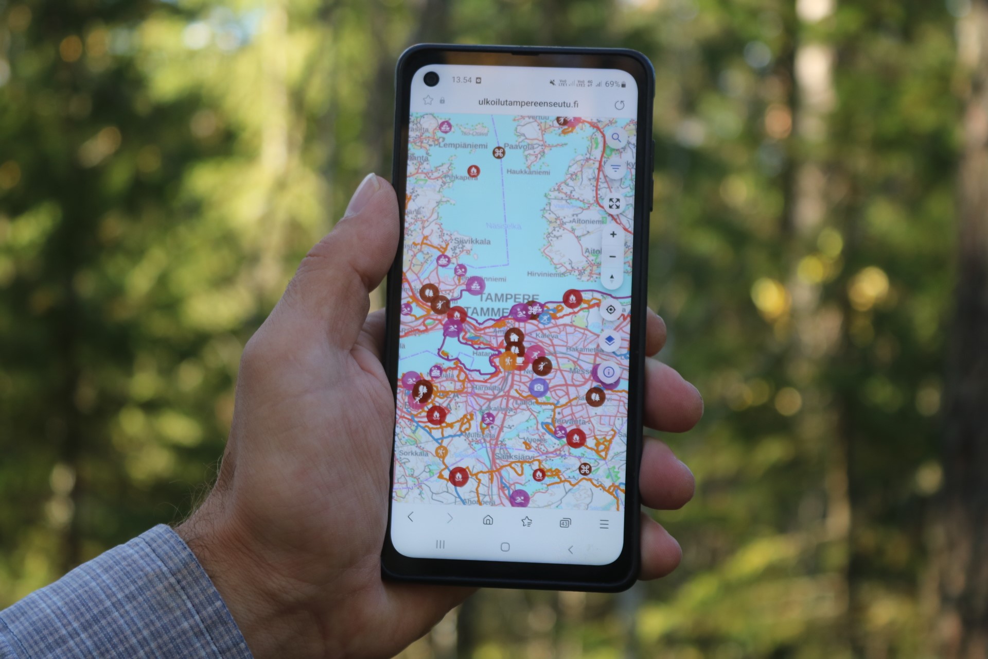
The browser-based service is available at https://ulkoilutampereenseutu.fi and https://outdoorstampereregion.fi.
“The discovery of routes and sites in the Tampere City Region has been scattered across digital environments, and the new map service provides a solution to this problem,” says Petri Mäkelä, Nature Services Manager at Ekokumppanit Ltd., who led the map service project.
“The starting point of the service has been to gather all hiking routes, ski trails and other hiking services and sites that can be used freely and free of charge in Tampere, Kangasala, Lempäälä, Nokia, Orivesi, Pirkkala, Vesilahti and Ylöjärvi,” says Mäkelä.
“In addition to free services, the map will also include other services essential for local tourism, such as Nysse bus and tram stops and parking spots, which may be subject to a fee.”
The greatest difference to existing map services can be found on the data side of the service. There, each municipality is responsible for having their routes and sites visible and up-to-date, even though all services are visible to the user in a uniform manner.
The municipalities of the Tampere City Region have been preparing the map service for outdoor recreation and hiking to be published on 12 October since the beginning of 2021 together with Ekokumppanit Ltd. and a system supplier Gispo Oy.


